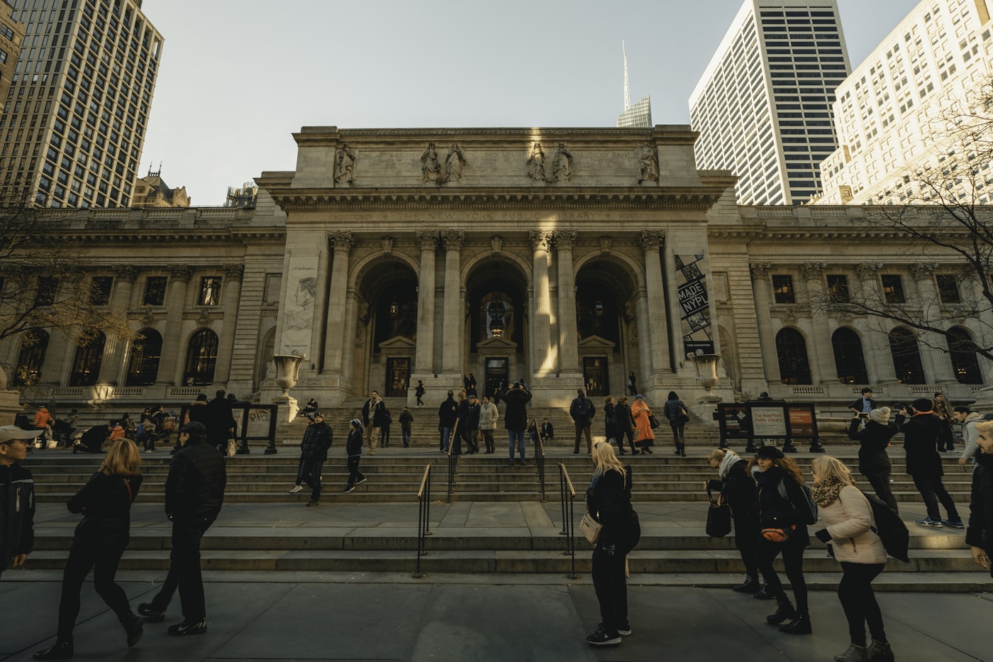
On the Upper East Side, you can buy your way into almost anything — there's a restaurant, café, or bar for roughly every 400 residents, one of the densest paid-social scenes in the city. Free space? Central Park is a five-minute walk, and it is magnificent. But that one park is essentially the neighborhood's entire free realm — and split across the 200,000-plus people who lean on it, the Upper East Side still comes out below the city's median for free open space per resident. The paid city is on every block here; the free city is a single (great) park.
That gap — between the city you pay to be in and the city that's free — is the whole chapter.
This is the fifth chapter in a series measuring New York at the resolution that actually decides things. Chapter 1 measured the city in minutes, Chapter 2 in dollars over income, Chapter 3 in what the body absorbs by being there, Chapter 4 in whether the errands are enough, not just near. This one is about the part you don't plan: the public realm — and which of it you have to buy.
Why public space deserves its own chapter
The first four chapters measured a city you use: the commute, the rent, the air, the errands. Public space is the city you inhabit — the part with no task attached. The park, the stoop, the plaza, the library, the café where you're out among people with nothing to finish. These are the third places, and the research is blunt about them: having good ones is one of the better signs that a neighborhood is a community and not just somewhere to sleep between obligations.
But "good public space" hides a fault line we rarely say out loud: some of it you pay for, and some of it is free. The café where you meet a friend is a third place — and a business; your seat is rented by the cup. The park down the block is a third place too, and nobody checks your wallet at the gate. Both are "public" in the loose sense. Only one is public in the sense that matters when you don't have money to spend. New York is romantic about its street life and quiet about which of it is for sale.
That's the line this chapter measures: not how lively a neighborhood is, but how much of its public life you can have for free — and who actually gets it.
Why public space is hard to measure
The obvious way is to ask how close people live to it. For each district, take the share of residents within a ten-minute walk of the things that make public life — a park, a restaurant, a pedestrianized street — sort them into baskets, and you have a tidy picture of the public realm.
It falls apart at once, because the baskets turn out to be the same basket. Line the 59 districts up by each one and the orderings come out nearly identical, because all of them really track the same thing underneath: how many people are packed onto the block. Restaurants, theaters, plazas all cluster where the crowds are — so "what's within a ten-minute walk" is mostly just a map of density.
So the chapter throws that out and asks a sharper question — the same move Chapter 4 made, from near to enough. Not whether you can reach public life, but how much of it your neighborhood actually has per resident, split by whether you have to pay:
- Paid sociability — restaurants, cafés, bars, and cultural venues per 1,000 residents. The third places you rent by the purchase.
- Free open space — acres of park and plaza per 1,000 residents, with big parks credited to every district they border (so a five-minute walk to Central Park counts for the Upper East Side, Prospect Park for its neighbors, and so on). The room you can use without spending a cent.
Counted this way, the two come apart. They're built by opposite forces — paid space by rents and foot traffic, free space by where the city long ago set down its big parks — and across the 59 districts they're all but unrelated.
The map
The whole chapter fits on one chart. Put every district on a grid — paid social places left to right, free open space bottom to top — and instead of lining up, the dots scatter into a shapeless cloud. That shapelessness is the finding: what you can buy and what's free are two different maps of New York drawn on the same outline. (Dots are colored by borough; the four corners are marked by their labels.)
The four corners are four kinds of neighborhood. Pay to belong (lower right) — Greenwich Village, the Upper East Side, Williamsburg: thick with paid social space, thin on free. Free to be (upper left) — Bayside, Coney Island, the outer-borough edges: little to buy, acres to roam. Rich in both (upper right), the lucky few — Chelsea, Forest Hills, Staten Island's north shore. And thin on both (lower left), the ones with neither. The city splits almost evenly: 16 districts pay-to-belong, 16 free-to-be, 14 rich in both, 13 with neither.
The map below puts that on the geography. The Pay vs free tab colors each district by which corner it falls in; Paid and Free are the two underlying measures. Flip between them and the bright districts trade places — the dense, moneyed core lights up for paid and goes dark for free open space, the outer edges do the reverse.
Two things jump out. First, money doesn't buy free space — and free space isn't about money either. The pay-to-belong districts are the dense, well-off cores (Greenwich Village, the Upper East and West Sides, brownstone Brooklyn), but the free-rich list mixes wealthy and poor without apology: Bayside and Riverdale sit beside Coney Island and South Crown Heights, all of them with far more park per resident than the Manhattan core. Second, the thin-on-both corner — neither paid scene nor free space — is where the chapter turns serious: dense residential districts like Morrisania, Jamaica, and Flatbush, the neighborhoods with the least slack to begin with, that get neither the lively half nor the free half.
(One quirk worth naming: Midtown lands "rich in both," which sounds absurd until you remember almost nobody lives there — and that Bryant Park and a slice of Central Park count for its handful of residents. Per resident, even Midtown is free-rich.)
Five neighborhoods
Five community districts, one per borough, at the corners of the chapter's argument. Paid is restaurants, cafés, bars, and cultural venues per 1,000 residents; free is acres of park and plaza per 1,000; type is which corner of the chart the district lands in. Tottenville anchored an earlier chapter too, so the series keeps circling back to the same neighborhoods.
| CD | Neighborhood | Boro | Paid /1k | Free ac/1k | Type |
|---|---|---|---|---|---|
| 108 | Upper East Side | MN | 2.43 | 4.1 | Pay to belong |
| 301 | Williamsburg / Greenpoint | BK | 3.37 | 0.6 | Pay to belong |
| 411 | Bayside / Little Neck | QN | 0.66 | 16.7 | Free to be |
| 203 | Morrisania / Crotona | BX | 0.06 | 1.6 | Thin on both |
| 503 | Tottenville / Great Kills | SI | 0.95 | 27.8 | Free-rich |
Use the tabs below to explore — selecting an anchor highlights it on the map and surfaces its detail.
Upper East Side (CD 108) is the chapter's cold open, and the cleanest case of how pay to belong hides in plain sight. It has a paid third place for roughly every 400 residents — one of the densest paid scenes in the city — and on paper one of New York's great parks at its doorstep. But Central Park is essentially all of its free space, and shared across 200,000-plus people it works out to 4.1 acres per 1,000 residents — below the citywide median. The point isn't that the neighborhood has nowhere green; it's that nearly everything else here has a register, and its free realm is one park doing all the work.
The catch: free isn't the same as open
Here's what acres-on-a-map can't show. The free realm is also the restricted one. A paid third place stays open because someone's making money: the bar is there at 11 p.m. because it sells you the right to sit. A free one runs on a budget and a rulebook, and both cut its hours and hedge its welcome.
The clearest case isn't even in the acreage above — it's the one free indoor third place, the public library. It's the most democratic room in the city and the most time-limited: many branches close by six and shutter on Sundays, so the place you can be for free is also the place you can be for the fewest hours. Parks are free but curfewed — most officially close at 1 a.m., some at dusk — so "open to all" comes with a clock. And the privately-owned "public" plazas that developers trade for extra floors are free to enter but engineered to move you along: armrests mid-bench, no flat ledges, sprinklers on timers, a guard if you linger. Much of that is defended, openly, as a way to manage the unhoused — which says the quiet part out loud. Free public space is exactly the space a city polices hardest: the one place it actively decides who gets to stay, and for how long. The map measures how many acres are free. It can't measure the hours they're open, or the bench built so you can't lie down on it.
What this means for a household
If you're choosing where to live, the chapter cashes out to one habit:
- Sort your public life into what you'd pay for and what you wouldn't — then check the second list, because it's the one that varies. Almost any dense neighborhood will have cafés and bars; that's the easy half, and it tracks rent. The hard half is whether there's anywhere to take a kid, sit, or kill an afternoon without spending: a real park you'd actually use, a branch library with decent hours, a plaza that isn't designed to shoo you off. Those don't follow the restaurant map, and they don't follow money in either direction. Walk the parks, and check when the library actually closes, before you sign.
What this measure misses
A few caveats worth holding, with the full list in Chapter 10:
- Adjacency isn't the same as access. Crediting a big park to every district it borders is closer to reality than assigning it to one — but a park across a six-lane arterial, or behind a highway, isn't really "yours." The measure rewards being next to a big park, not being able to safely walk into it.
- Acres aren't hours or welcome. A park counts the same whether it's programmed and open late or fenced at dusk; the restriction story above is real and largely unmeasured here. And libraries — free, indoor, the most time-limited space of all — sit outside the acreage entirely.
- Per resident, not per visitor. Counting per resident is right for a livability series, but it flatters places almost no one lives in (Midtown) and is hard on dense ones — though a real Upper East Sider and a real Morrisanian both feel the squeeze the number describes.
- "Paid" is OpenStreetMap; "free" is city data. Paid venues come from OSM, which varies in completeness by neighborhood; parks and plazas from authoritative city layers. Sub-1-acre parks and POPS outside the plaza dataset are undercounted.
Reach for the next chapter
Chapter 6 is Safety — the dimension that decides whether the free public realm this chapter counted is one people actually use. A park you won't cross after dark and a plaza you keep your kids out of are, functionally, not public space at all — and "managing" who feels unwelcome in free space is exactly where public safety and public space blur into each other. This chapter measured what the city lets you have for free; the next measures what it costs you, in risk, to go take it.